Agricultural Digital Twin
LSTM forecasting of 10 m Sentinel-2 NDVI from CHIRPS rainfall and ESA CCI soil moisture; R² above 0.50 and MAE below 0.07 at parcel level.
I apply Earth observation to concrete environmental questions: what is growing where, how vegetation responds to rainfall, where forest carbon is heading and how fast a coastline is retreating. Every answer is fused from several sensors and validated before it is reported.
Including cocoa and smallholder systems in West Africa.
Needing biomass trends and forward-looking scenarios.
Monitoring erosion hotspots before infrastructure is lost.
Monitoring land and forests with satellite data and participatory ground truth.
Agree what is measured (NDVI trend, crop type, biomass, shoreline position), at what scale and for which decision.
Sentinel-1 and -2, Landsat, GEDI LiDAR, SMAP, ERA5, CHIRPS, ESA CCI soil moisture and UAV orthomosaics, each covering another's blind spots.
Participatory plot-level ground truth, UAV-derived labels and DSAS transects anchor the models to reality.
LSTMs, Bayesian LSTMs and temporal graph neural networks capture lagged responses and trends; scenario runs extend them under RCP pathways.
Spatial-block cross-validation and held-out areas, with uncertainty reported alongside every forecast.
Clear figures and hotspot maps, such as "32.0% of the district in measurable decline", that stakeholders can use directly.
Figures come from the Obuasi, Agricultural Digital Twin and Coastal Erosion projects and from Rainforest Alliance work in 2024.
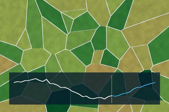
LSTM forecasting of 10 m Sentinel-2 NDVI from CHIRPS rainfall and ESA CCI soil moisture; R² above 0.50 and MAE below 0.07 at parcel level.
Fuses Sentinel-1/2, GEDI LiDAR, SMAP and ERA5 in object-based and temporal GNNs to forecast above-ground biomass over 10-year horizons under RCP scenarios.
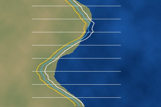
3-month shoreline forecasts (MAE below 8 m) from Sentinel-1/2, Landsat, UAV orthomosaics and wave climatology, validated against DSAS transects.
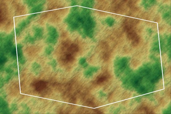
Boundary-clipped USGS Landsat NDVI trend: 32.0% of the district in measurable decline (9.2% strong, 22.8% moderate), concentrated around mining.
Radar, optical, LiDAR and climate data together, rather than a single index.
Built on West African systems such as cocoa farms, the Atewa range and Lake Volta shorelines.
Forward-looking products always carry their uncertainty.