Project aim
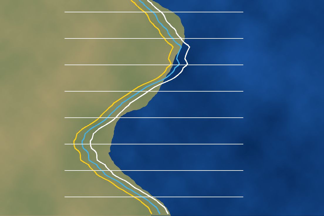
Forecast where the shoreline will be three months ahead, with uncertainty, so erosion hotspots can be watched before infrastructure is lost.
- <8 mForecast MAE
- 3 monthsForecast horizon
- 4Imagery sources
- DSASValidation standard
 Illustrative graphic
Overview
The digital twin combines Sentinel-1/2, Landsat, UAV orthomosaics and wave climatology. A Swin-UNETR backbone extracts shoreline features and a Bayesian LSTM forecasts their position, reaching MAE below 8 m for 3-month forecasts when validated against DSAS transects.
The challenge
Shorelines move with tides, seasons and storms, so a single image can mislead. Different sensors see the coast at different resolutions and times, and a forecast is only useful if it reports how uncertain it is.
Data & inputs
Approach
-
01
Multi-sensor archive
Sentinel-1/2, Landsat and UAV orthomosaics provide shoreline observations at different scales.
-
02
Wave climatology
Wave conditions are added as drivers of change.
-
03
Swin-UNETR backbone
A transformer-based segmentation backbone extracts the shoreline from imagery.
-
04
Bayesian LSTM
A Bayesian LSTM forecasts shoreline position with uncertainty.
-
05
DSAS validation
Forecasts are checked against Digital Shoreline Analysis System transects.
Results
3-month shoreline forecasts reach a mean absolute error below 8 m against DSAS transects.
Validation
Validated against DSAS (Digital Shoreline Analysis System) transects.