Multi-Modal Road Assessment (TRECK)
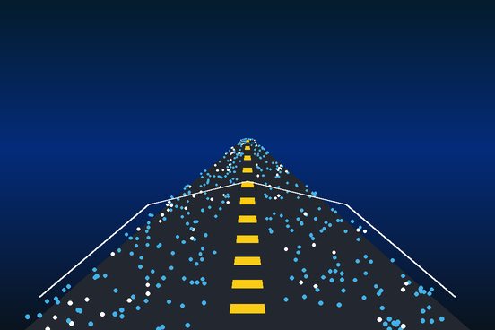
Camera / IMU / GPS fusion for metric-accurate road assessment, validated against 50 surveyed ground-truth measurements along 50 km of road.
A satellite product is only as credible as its validation. Trained as a geomatic engineer, I design and carry out the GNSS, Total Station and UAV surveys that calibrate and test Earth observation models, and I report accuracy in terms decision-makers understand.
That need independent evidence that their maps are right.
Survey control for validating satellite- and drone-derived models.
Metric-accurate road assessment from low-cost sensors.
Designing validation that will stand up to peer review.
Choose the error metric and a sampling design stratified across conditions, so validation is not biased toward easy areas.
GNSS receivers and Total Stations set ground-control points that tie everything to a known reference.
UAV flights provide high-resolution orthomosaics and labels where satellite resolution is not enough.
Participatory plot-level ground truth brings in what only people on the land know.
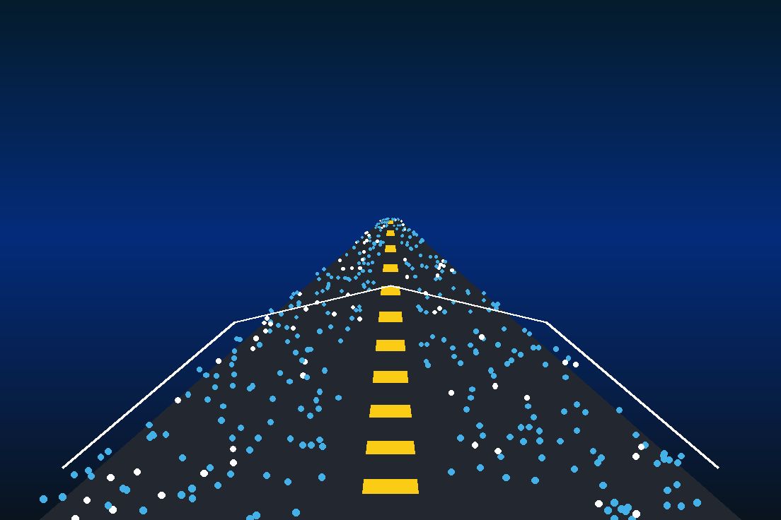
Co-register field and EO data carefully; the TRECK road study compared outputs with 50 surveyed measurements along 50 km.
State errors, coverage and known gaps, so users know where a product can be relied on.
Field experience includes establishing ground-control points with Total Stations, GNSS and UAVs at Asanko Gold Ghana (2023).
Camera / IMU / GPS fusion for metric-accurate road assessment, validated against 50 surveyed ground-truth measurements along 50 km of road.
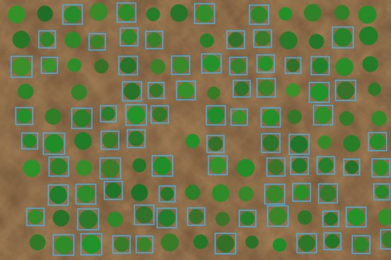
YOLOv8 with multi-temporal analysis and ensemble uncertainty scoring to detect and count cocoa plants across smallholder and commercial layouts.
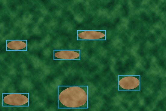
Dual-stream U-Net + YOLOv8 fusing Sentinel-1 and Sentinel-2, trained on UAV-derived labels. Recall 82%, F1 0.79 on held-out tiles.
I understand both the survey instrument and the model it validates.
Sampling and metrics are planned at the start of a project, not after the map is finished.
Results expressed in real-world units, such as metres, centimetres and counts, rather than abstract scores alone.