Project aim
Count cocoa plants automatically from drone imagery, across both regular commercial plantings and irregular smallholder farms, and say how confident each count is.
- YOLOv8Detector
- 2Layout types covered
- EnsembleUncertainty scoring
- Held-outTest set
 Illustrative graphic
Overview
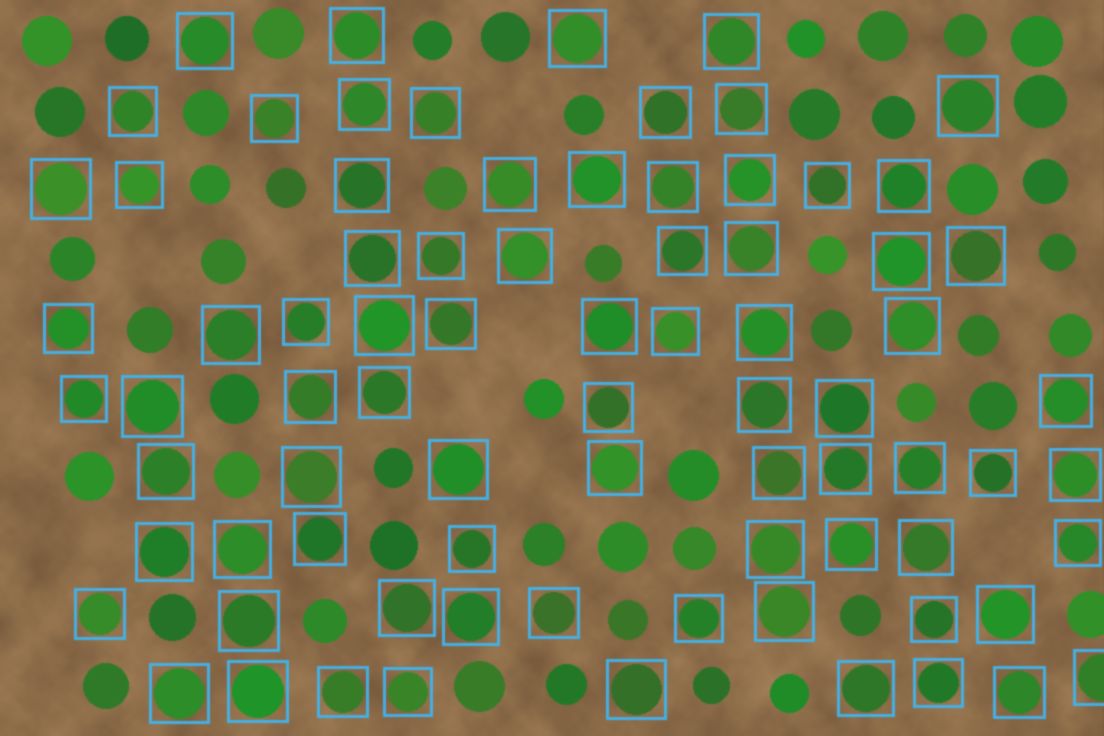
YOLOv8 detects individual cocoa plants in UAV imagery. It is combined with multi-temporal analysis, and ensemble uncertainty scoring flags detections the model is unsure about. The approach is evaluated on a held-out test set covering smallholder and commercial layouts.
The challenge
Commercial farms are planted in rows, while smallholder plots are irregular and mixed with shade trees, so a detector tuned to one fails on the other. Counts are also used for planning, so uncertain detections need to be visible rather than hidden.
Data & inputs
Approach
-
01
UAV imagery
Drone flights capture high-resolution imagery of the farms.
-
02
Detection
YOLOv8 detects individual cocoa plants.
-
03
Multi-temporal analysis
Detection is combined with multi-temporal analysis of the imagery.
-
04
Ensemble uncertainty
An ensemble scores each detection's uncertainty, so low-confidence counts are flagged.
Results
The detector counts cocoa plants across smallholder and commercial layouts and reports uncertainty with each count.
Validation
Evaluated on a held-out test set.