Project aim
Forecast crop vigour at the level of individual fields, so farmers and advisers can see where growth is likely to fall behind before it shows in the field.
- >0.50R² at parcel level
- <0.07NDVI MAE
- 10 mResolution
- LSTMModel
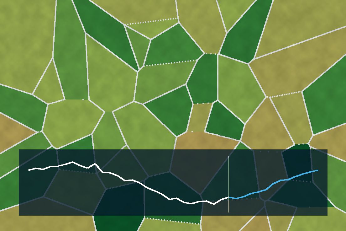 Illustrative graphic
Overview
An LSTM forecasts 10 m Sentinel-2 NDVI from CHIRPS precipitation and ESA CCI soil moisture, with cloud gap-filling to keep the time series continuous. At field-parcel level it reaches R² above 0.50 and a mean absolute error below 0.07 under spatial cross-validation.
The challenge
Optical NDVI time series are full of cloud gaps in the tropics, and vegetation responds to rainfall with a lag that varies by crop and soil. A forecast has to work at parcel scale to be useful, not just as a regional average.
Data & inputs
Approach
-
01
Cloud gap-filling
Sentinel-2 NDVI series are gap-filled to remove cloud-induced holes.
-
02
Climate drivers
CHIRPS precipitation and ESA CCI soil moisture are aligned to each parcel's time series.
-
03
Sequence model
An LSTM learns how NDVI responds to recent rainfall and moisture.
-
04
Spatial cross-validation
Evaluation holds out spatial blocks to avoid inflated scores.
Results
Forecasts reach R² above 0.50 and MAE below 0.07 at field-parcel level under spatial cross-validation.
Validation
Spatial cross-validation at field-parcel level.